
OceanExpert ID : 14054
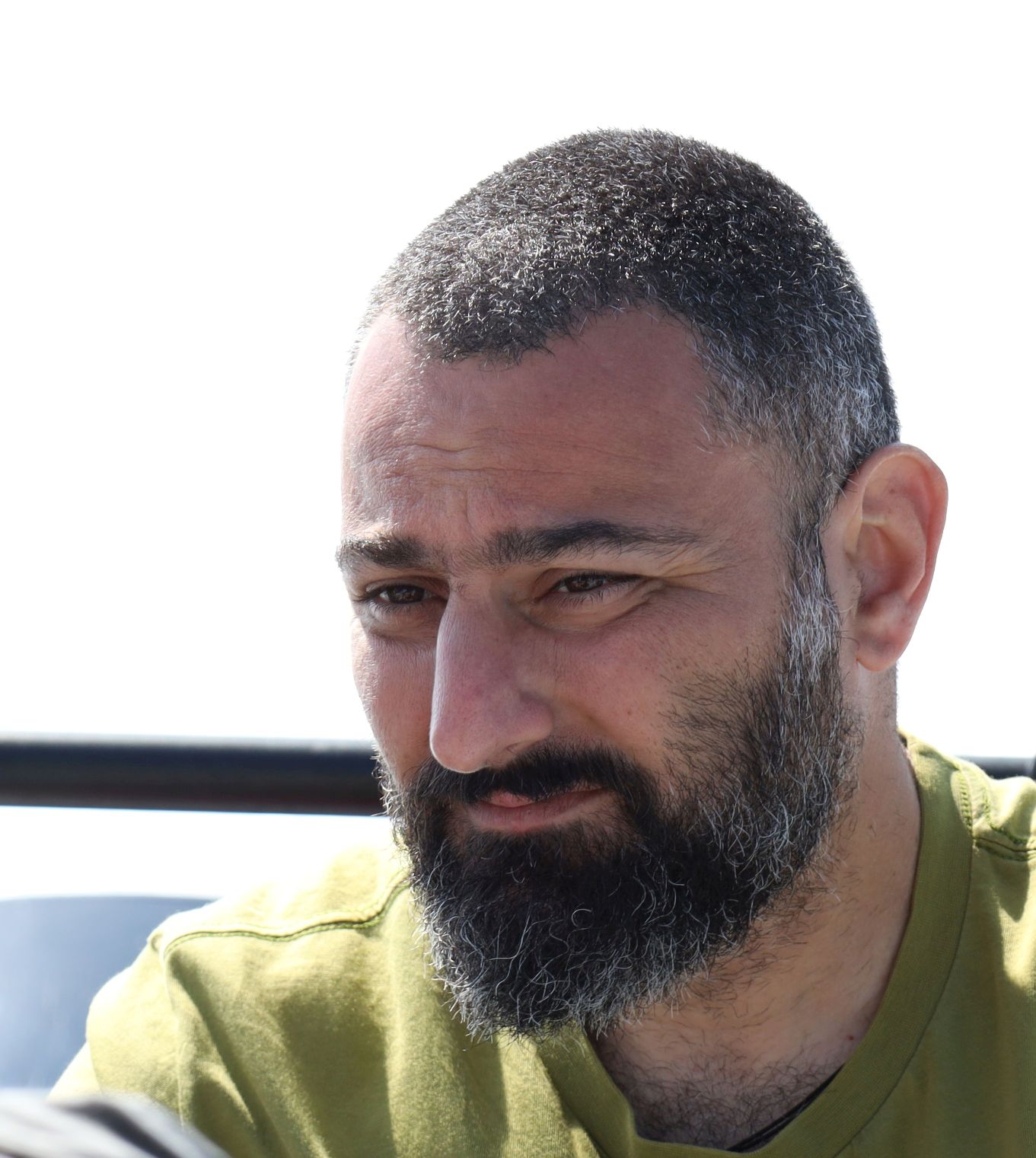
Dr. Dimitris N. POURSANIDIS
Seascape Scientist/ Earth Observation / Geospatial Data Analyst
Foundation for Research and Technology - Hellas - Institute of Applied & Computational Mathematics
Νikolaou Plastira 100, Vassilika Vouton
GR - 711 10 Heraklion
Greece
Nationality
Greece
Email(s)
Please login to see the email.
Telephone
+30 6044 910 637
ORCID :
0000-0003-3228-280X
PhD
Teaching/Education
Research
Data Management
Natural Resource Management
Technical Advice & Consulting
Biological Oceanography, Marine Ecology
Marine and Coastal Engineering
Dimitris Poursanidis, Ph.D., is a marine scientist and earth observation analyst committed to unraveling the mysteries of our seascapes. With a wealth of expertise in marine ecology and biodiversity, he has dedicated his career to understanding the delicate balance of marine ecosystems and the impacts of human activities. Driven by a passion for conservation, Dimitris explores the intricate relationships between marine organisms and their environment, striving to protect biodiversity and promote sustainable practices.
Mediterranean Sea - Western Basin
Mediterranean Sea - Eastern Basin
Arabian Sea
Global
marine ecology, non-destructive sampling, endangered species, distance sampling, GIS and Remote Sensing, species distribution modelling, Earth observation data analysis, seagrass
English

